
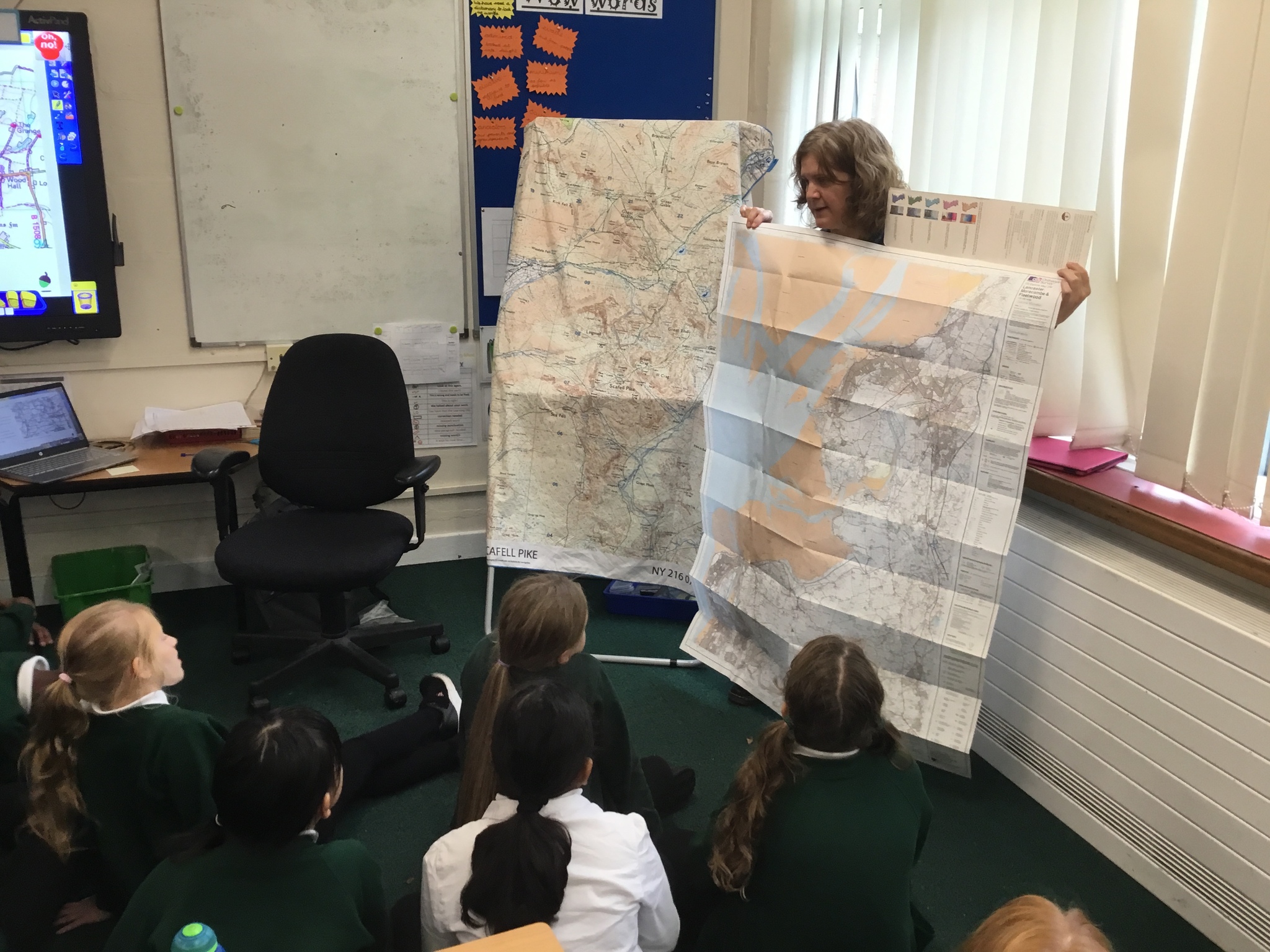
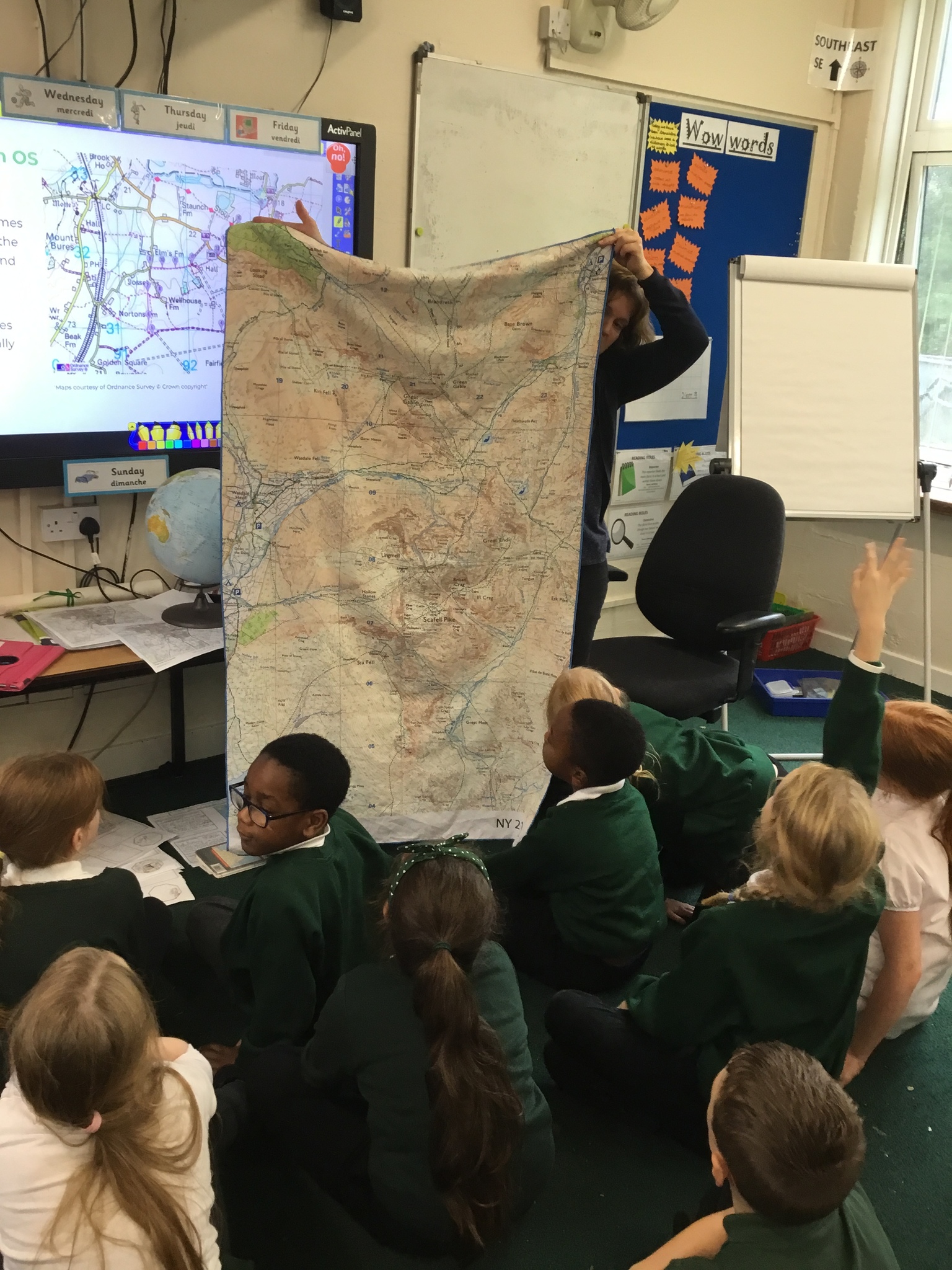
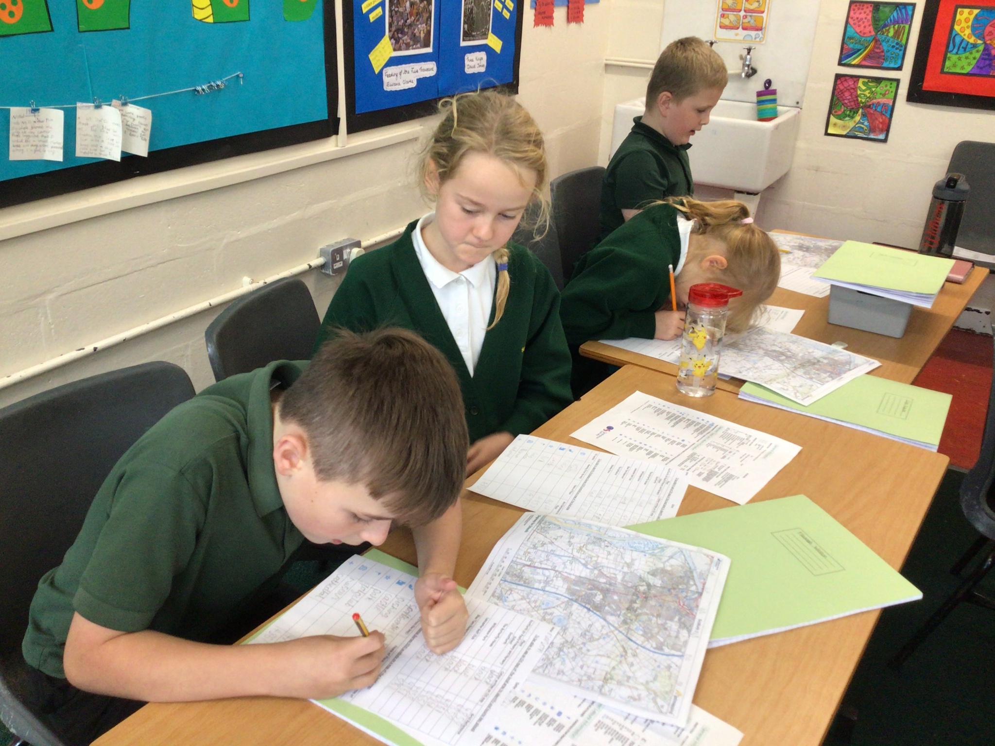
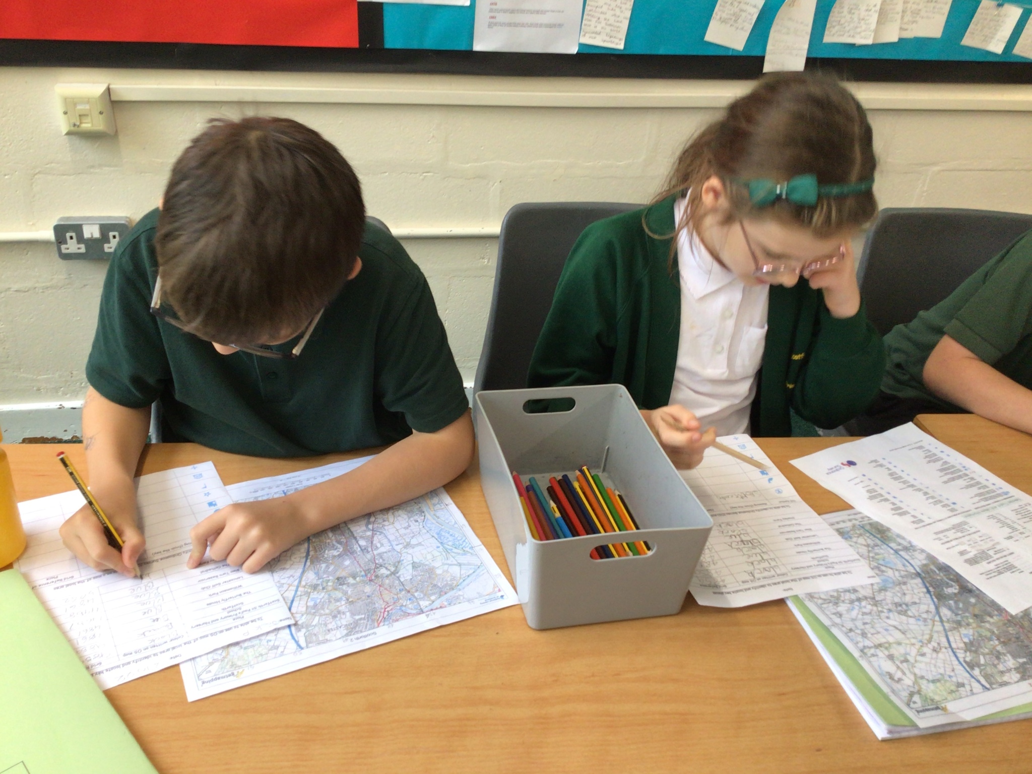
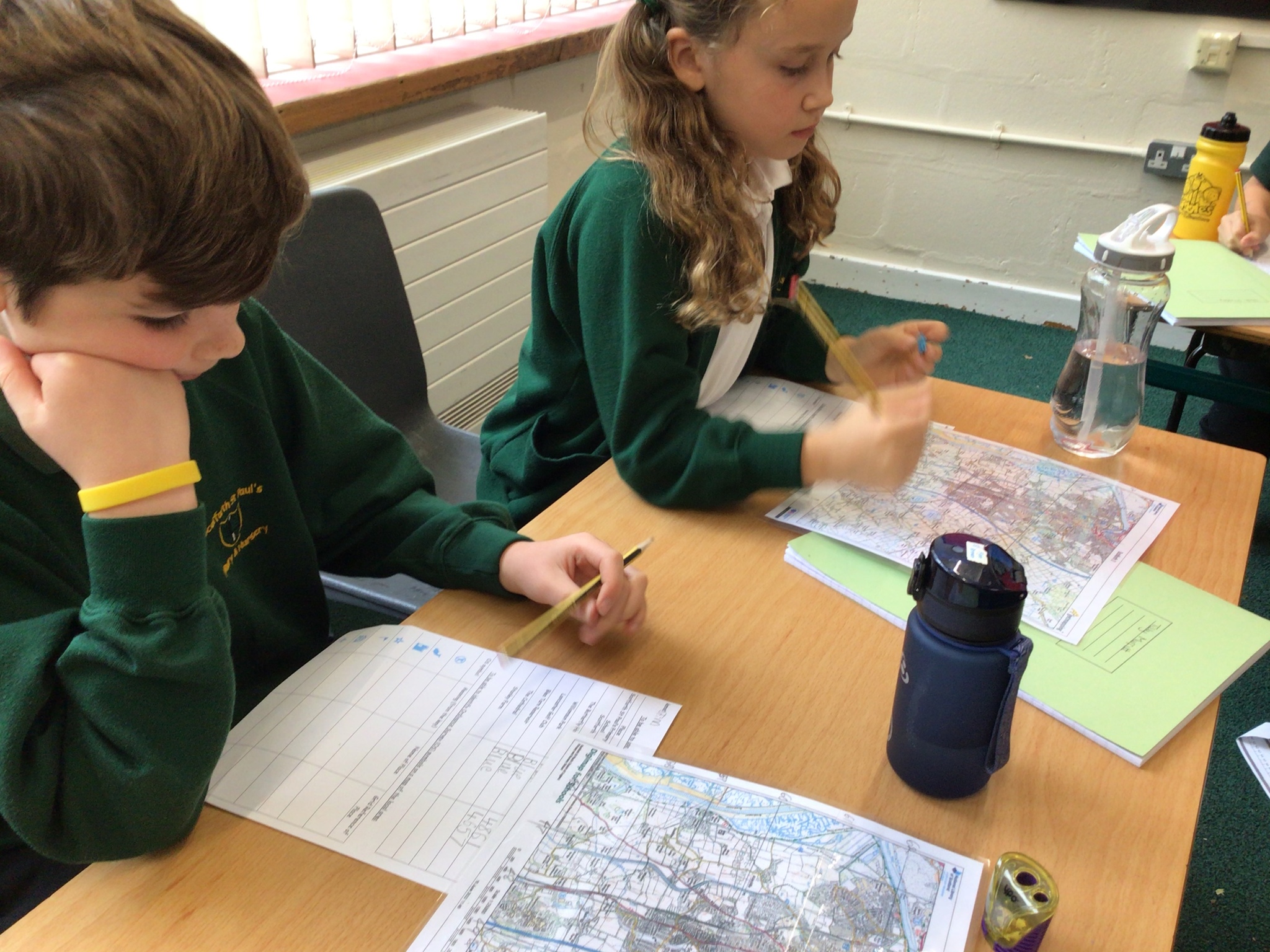
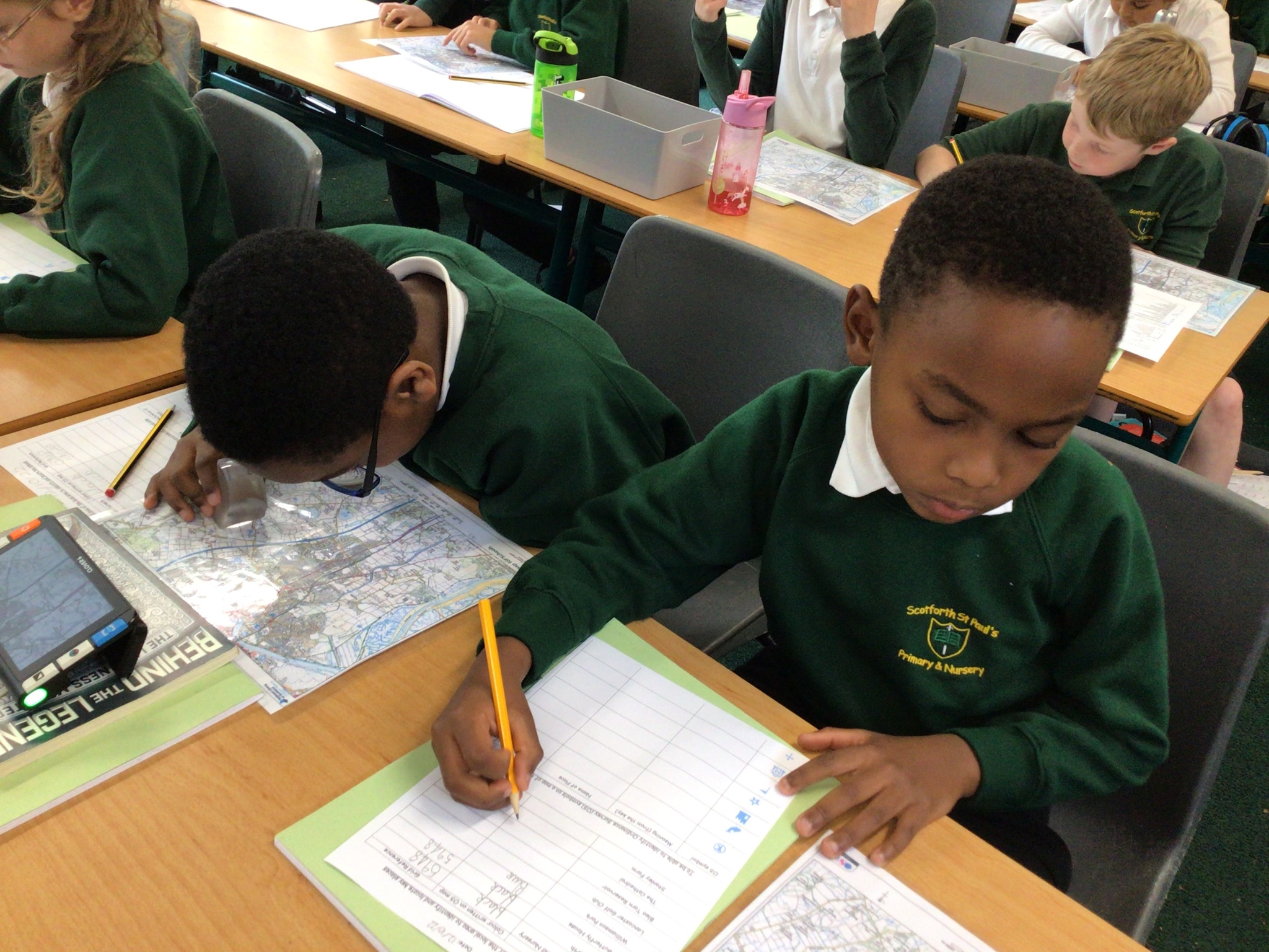
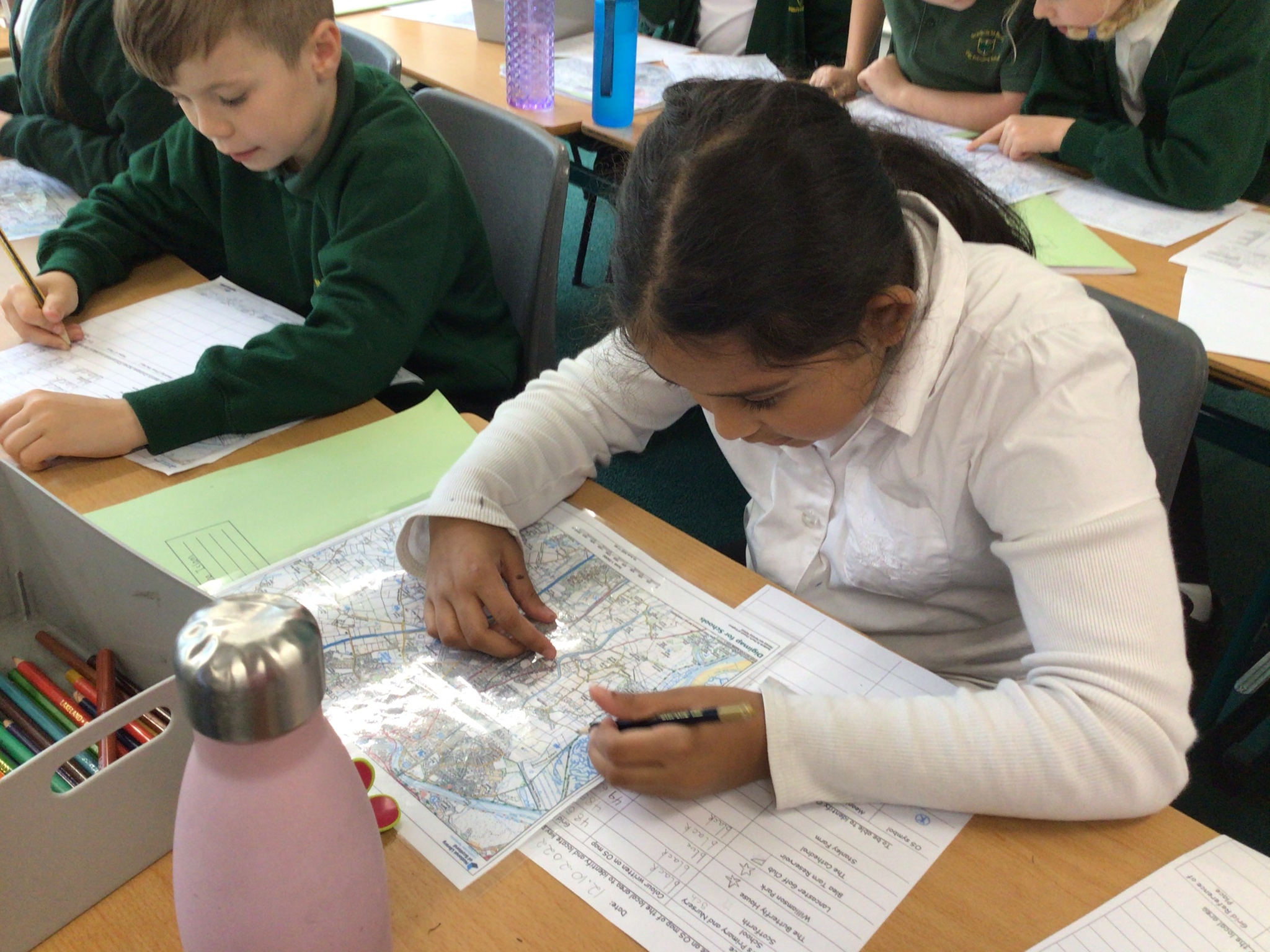
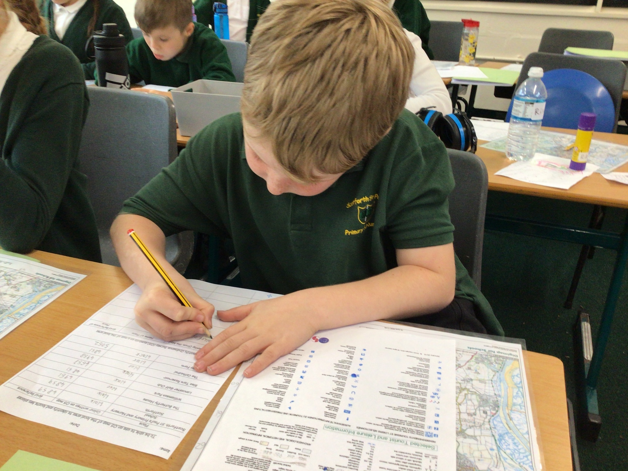
Today we looked at Ordnance Survey maps. Mrs Redmayne showed us her towel which had a picture of part of a Lake District Ordnance Survey map. We found Scafell Pike, the tallest mountain in England, on it. We also used it to find grid references for different places. We then found symbols of different locations in Lancaster, including our school, Williamson’s Park and Blea Tarn Reservoir. We had to look really closely and carefully!

_(1).jpeg)
.jpeg)
_(1).png)
_(1).jpeg)
_(1).jpeg)
.jpeg)