Today, Year 2 went on a visit around our local area, to consolidate our term’s learning where we have focused upon the area in which we go to school!
Over the weeks, we have looked at aerial photographs and maps of Lancaster and, after zooming in further, Scotforth! We learned about human and physical features and spotted these within the maps, before planning a route from school to the playing field.
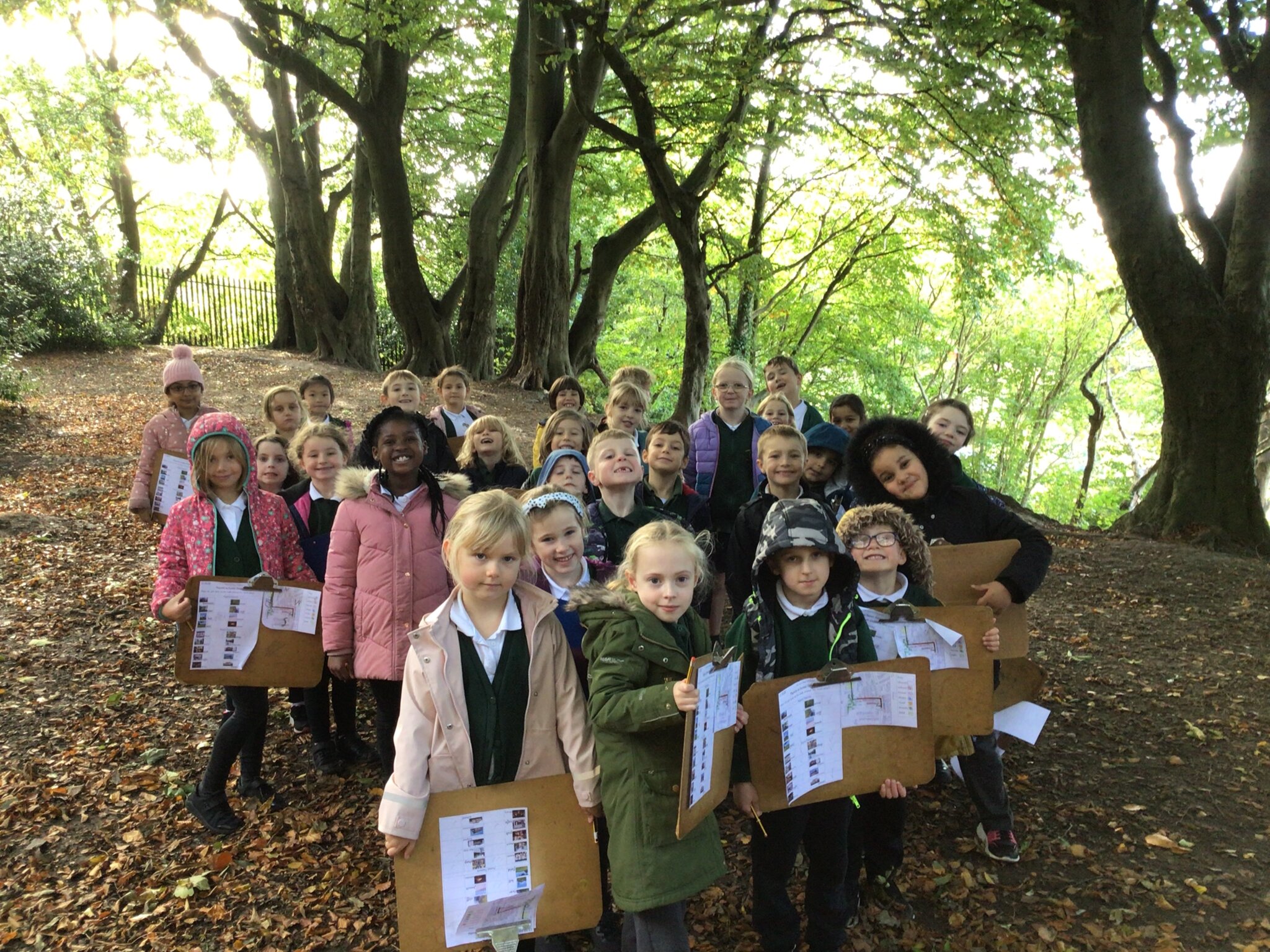
After all this super learning, we were excited to take our maps and get outside, following the route and recording the human and physical features that we spotted along the way. The children used the maps to navigate their way and instructed Miss Parlane to lead the group North, South, East or West for the whole journey! Whilst we were conducting our fieldwork, we learned three new pieces of vocabulary to help us understand the uses of the land in different areas of Scotforth: residential, commercial, and rural! The children were great at noticing that an area with lots of houses was residential, an area with shops and cafes was commercial, and the view we could see in the distance was rural!
Please enjoy the photographs from the trip and see if you can spot the physical and human geographically features that we found!


_(1).jpeg)
.jpeg)
_(1).png)
_(1).jpeg)
_(1).jpeg)
.jpeg)